Showing posts with label Delmarva Coast Cruising. Show all posts

June 21, 2008

May 24, 2008 - Offshore run Quinby Inlet, VA to Ocean City MD.


After a peaceful night at anchor, we departed Quinby Inlet on a rising tide with light winds from the North West, shortly after 6:15am. The shoals either side of the channel are marked, but care and constant vigil on the depth sounder was required until we were almost two miles off shore. A large shoal extends out at least a mile on either side of the channel, and was visible to the naked eye in calm waters shortly after low tide.
Miles and miles of magnificent sand beaches along the coast; some say the best beach on the east coast of USA. As we passed Assateague Island, just south of Ocean City we saw the wild horses roaming the beaches and many campers enjoying a weekend camped out on the sand dunes. We anchored overnight behind Assateague Island, just inside the Ocean City inlet. We lowered the dinghy and went to explore Ocean City. We docked at one of the restaurants, just before the bridge and had an early dinner followed by a stroll along the busy boardwalk. The crowds and carnival type atmosphere was not our thing, so we returned to the boat for a quiet evening.
May 25, 2008 Ocean City MD to Little Egg Inlet NJ
Another early morning departure. The Atlantic Ocean was flat calm all day and perfect for offshore cruising. For most of the day the sea was as just like a mill pond. We re-entered the ICW at Little Egg Inlet. This can be a treacherous inlet when wind and tide are working against each other. That was not the case today. The shoals were clearly visible in the calm waters and were well buoyed. We stopped at Beach Haven YC Marina to fuel and pick up our new credit cards, which were delivered to the marina. Apparently our card numbers had been found in a fraud ring and although they had not been used, the bank shut them down and issued new cards. This is the second time in a year that we have had our credit card compromised. Diesel fuel price jumped fifty cents per gallon since we called three days ago. We need fuel and prices are expected to increase as we reach New York State. It has been reported that fuel is currently less expensive in Vermont. We’ll reserve judgment until we reach Lake Champlain. After fueling, we continued onwards for a couple of hours to Beach Island State Park at mile 22. This is a popular anchorage, especially on weekends, and this happened to be Memorial weekend! The approach to the large anchorage was shallow, and not having local knowledge, we elected to anchor offshore a ways in 6’ depths. Tide is minimal here, less than 1’ so we felt with a 4’ draft, we were fine for the night.
During the past couple of weeks, we have incurred many long hours of daylight travel with far to many dawn departures, and so have decided to spend a couple of days here at rest, just enjoying the beach.
Next morning when we awoke, the wind was coming from the south west and continued to freshen all morning, causing us to rock and roll at anchor. After listening to the marine forecast, we learned that winds were forecast to strengthen to 30 knots from the south west and continue to blow well into the evening. We consulted the charts and elected to move the boat about 7 miles to the calm of Tom’s River. Although we were in the Inland waterway, Barnegat Bay was producing 3’ waves and whitecaps. Smaller boats were encountering problems; listening to the VHF we heard of a sail boat capsizing just off shore and a small power boat sinking beneath a bridge. We were thankful that we had chosen to seek the comfort of the river cove.
May 27, 2008
This morning was calm and muggy with thunder showers forecast for later in the day. It was time to lower the dinghy and explore Tom’s River. We docked the dinghy at the Lobster Shanty on the waterfront in town and enjoyed a good lunch.
May 29, 2008
Another early morning departure to ensure that we arrived at the Manasquan Inlet at slack tide; meaning that we wouldn’t have to fight the wind and current fighting against each other as we transited out the inlet into the Atlantic for the twenty mile run to Sandy Hook, NJ, the entrance to the channel into New York City. Being a weekday, all we had to contend with in Manasquan was the current in the canal. The current is due to there being a one foot tide at the Barnegat Bay end, and a four foot tide at the Manasquan end. Needless to say, the current was swift, which helped our fuel economy for a short while. Not having to endure the wakes of sport fish boats rushing to get out into the Atlantic or negotiating around numerous small fishing boats that choose to sit and fish in the middle of the channel, or the crazy jet skiers who are oblivious of anything other than themselves made today’s trip through Manasquan a pleasure. Other than having to navigate through the narrow railway bridge just prior to the inlet, we had time to enjoy the scenery and the many magnificent waterfront homes.
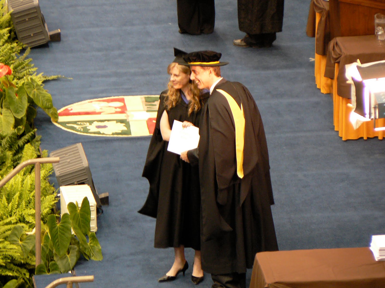
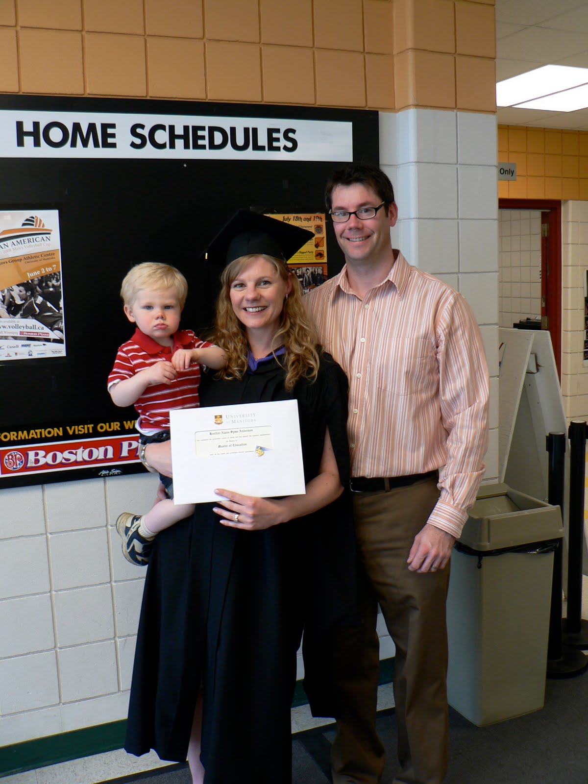
Today was a special day for us. It was convocation day at the University of Manitoba for our daughter Heather, who received her fourth degree, and second masters in education.
We arrived at Sandy Hook NJ about 10:30 am and were able to find a spot to drop the anchor and connect to the internet for 11:00am for the graduation ceremony. Technology is a wonderful thing. It allowed us to watch her receive her degree on a live web cast, and I was even able to take a photo off of the event. We are extremely proud of her!


Oyster VA – Quinby Inlet


May 23, 2008 Oyster – Quinby Inlet

A quiet night was spent at anchor, just off the entrance to Oyster. We enjoyed a sleep in and a leisurely cup of coffee prior to this morning’s departure since we needed to wait for a rising tide for today’s travels through a few areas of very skinny (shallow) water. Once again, we experienced difficulty in being able to find the actual channel. Frequently it was a two person job to navigate with one constantly monitoring the depth finder and the other using visual skills and referencing the chart. Seldom were depths as indicated on our chart; however that might also have been the result of not always being able to find the charted channel. We did find bottom a few times with a soft grounding in the mud and sand. Fortunately we were able to get free and find enough water to continue moving along, albeit slowly. The good news that with a rising tide, if we got stuck we would just need to exercise patience and wait for the water to rise. As per the charts, we also encountered some very deep channels with depths in the 18 – 30’ range, although if one strayed from the channel, the boat could find skinny water and come to an abrupt halt. This was definitely a day for the Captain to hone his navigation skills and to exercise patience. Having said all this, it was a magnificent sunny day with light winds from the north. We enjoyed the remoteness, particularly since the flies in the marsh areas were minimal.

The channel from ??? to ??? appeared to be very shallow so the Captain opted to drop the anchor just inside the Quinby Inlet and take a break and reassess the situation.
We were well sheltered and surrounded by miles of continuous sand beach, so made the decision to overnight here and head out through the inlet in the morning for a70 mile off shore run to Surf City on the Maryland Atlantic coast.
After a late lunch, we launched the dinghy to explore the area. We headed to Quinby; once again encountering both deep and skinny waters. At least this area of the waterway is well marked since Quinby has a small fishing fleet and pleasure boats moored in its small harbor. The Waterway Cruising Guide states that there is an anchorage in the harbor. Assuming that we were in the correct spot and given the docks around the edge of the harbor, we would not suggest this as a viable anchorage.
As we prepared to depart Quinby, a small pleasure craft was heading out to fish and we followed him out. The channels are marked with tree boughs and marker buoys, and the route was much easier to see and comprehend as we exited. We returned back to the Inlet and as low tide approached, we enjoyed a long and peaceful walk over the expanse of exposed sand beach.

Delmarva Coast Cruising
(Delaware, Maryland & Virginia)

May 22, 2008
Soon after crossing the state line from North Carolina into Virginia, we came across the Pungo Ferry Marina, advertising diesel fuel at $2.99. We were unable to raise anyone on the VHF radio and no-one answered the phone. Seeming to be too good to be true, we decided to go in and tie up at the dock and check it out. The marina was quiet and the docks were sparsely populated. Once ashore, we discovered that everything was locked up and it appeared that the marina was not yet in full operation, and sadly the $2.99 per gallon for diesel fuel was likely left from the previous summer season. Passed through Norfolk VA, and then headed across Chesapeake Bay towards Cape Charles and into the Delmarva route.

Ran aground at marker 261 and had to wait for a couple of hours for the tide to rise. Since it appeared that we would be having a late dinner that night, we declared this unplanned stop as a fortuitous time for snacks and Happy Hour.

At about 7:00pm the tide was high enough for us to get off the sand shoal and continue to a suitable anchorage.

Oyster (a small fishing hamlet with no services).